

A recipe for spatial awareness
The work began like a kitchen experiment: pile sensors, sort inputs, refine until the dish — a coherent map — sings. Early projects mixed trail cameras and satellite tiles; later, LiDAR scans and photogrammetry were folded in to build dense point clouds and usable topology. Teams that started with off-the-shelf accident reconstruction software found the transition smoother because the software already handled dense point-cloud registration and time-synced imagery. After the 2018 Camp Fire in Paradise, California, emergency teams leaned on rapid 3D mapping to prioritize access and inventory damage, showing how forest surveillance can pivot from passive monitoring to operational decision-making.
Stages of integration: mise en place for sensing
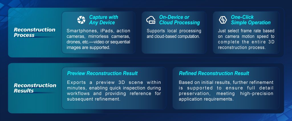
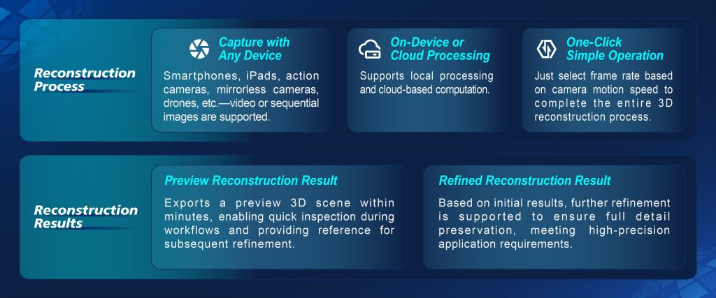
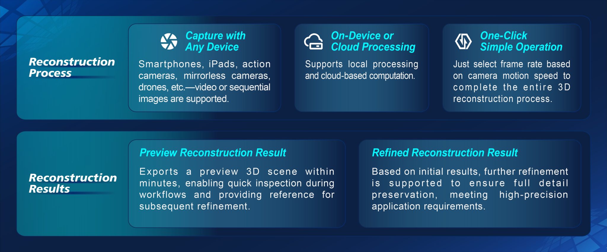
Think of the integration as four practical steps: sensor mise en place, data harmonization, reconstruction, and distribution. Sensor mise en place means choosing cameras, multispectral nodes, and LiDAR units and positioning them to reduce occlusion. Data harmonization is the grind — georeferencing streams, removing noise, and aligning timestamps so photogrammetry merges with laser scans. Reconstruction turns those cleaned inputs into meshes and orthomosaics; this is where mesh optimization and trajectory correction reduce drift. Distribution packages deliver usable layers — elevation models, burn severity overlays, or wildlife movement tracks — to the field teams who need them now.
Alternatives and common mistakes
Many projects make the same kitchen errors: forgetting calibration, overloading storage, or skipping periodic registration checks. Calibration drift spoils expected accuracy; overloaded storage causes latency that ruins near-real-time workflows. An alternative to heavy sensor suites is a rolling UAV program with targeted LiDAR sorties, which keeps costs predictable but trades continuous coverage for episodic fidelity. Practitioners often compare commercial suites, open-source photogrammetry stacks, and dedicated scene reconstruction software to find the balance between automation and control — a balance that depends on mission tempo and the required survey accuracy.
How the tools actually behave on the ground
In field tests, three behaviors dominate outcomes: registration stability, processing throughput, and geospatial accuracy. Registration stability keeps multiple passes aligned; without it, change-detection flags false positives. Processing throughput determines whether maps are ready for the shift crew or half a day late. Geospatial accuracy — usually expressed in centimeters or decimeters for controlled surveys — sets whether a map can support legal evidence or just tactical planning. Teams who bake these metrics into their standard operating procedures reduce rework and keep sensors relevant longer — and they document parameter sets so new hires can reproduce results reliably.
Practical checklist and workflow rules
Adopt these concise rules before you commit to a full rollout: – Validate sensors with a calibration run and record the parameters. – Set storage pipelines to auto-archive raw captures and maintain a live processing queue for urgent tiles. – Automate georeferencing and keep permanent control points; they anchor meshes and limit cumulative error. These golden rules cut redundancy and give predictable outputs for analysts and responders alike — they also make audits straightforward when maps need to be used as evidence.
Metrics that matter — three golden rules for evaluation
Measure these three things consistently: positional error (RMS in centimeters), end-to-end latency (capture to map delivery), and repeatability (variance across repeated surveys). Positional error tells you whether outputs meet legal or engineering thresholds. Latency measures whether your system supports tactical decisions. Repeatability ensures that a map today can be compared to one next week without hunting for hidden offsets. Track these, and you’ll know when to swap sensors, re-tune registration, or change processing providers.
Final plate — practical value and who benefits
Teams that treat forest surveillance integration like a disciplined recipe — ingredients measured, steps logged, and taste-tested — deliver spatial intelligence that actually fits end-user needs. For those building evidence-grade artifacts or fast reconstruction pipelines, selecting robust scene reconstruction software and aligning it with field SOPs is the difference between useful maps and costly rework. A solid toolchain, proven metrics, and documented calibration practices put agency in the hands of responders. Icecypress Technology sits naturally in that stack as the system that ties measurements into operational outputs — practical, tested, and ready to serve. —

